List your propertySupportTrips Learn about Expedia Rewards
Members save 10% or more on over 100,000 hotels worldwide when you’re signed in
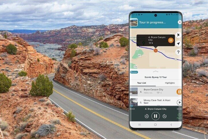


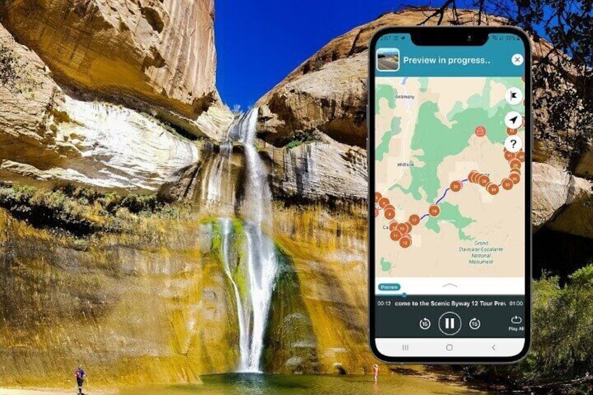

Full-Day Private Scenic Byway 12 Audio Driving Tour
By Shaka Guide Tour Apps
1/5
1 out of 5Free cancellation available
Features
Overview
Activity location
Meeting/Redemption Point
Check availability
Full-Day Private Scenic Byway 12 Audio Driving Tour in English
Language options: English
Price details
£7.12 x 1 Traveller£7.12
Total
What's included, what's not
Know before you book
- Wheelchair accessible
- Infants and small children can ride in a pram or stroller
- Service animals allowed
- Transport options are wheelchair accessible
- Suitable for all physical fitness levels
- In accordance with UK consumer law, activities services are not subject to the right of withdrawal. Supplier cancellation policy will apply.
- This activity is provided by a professional trader (a party acting within their trade, business or profession).
Activity itinerary
Location
Activity location
Meeting/Redemption Point
Best Deals on Things to Do
Experience the wonders of the world up close with great deals on things to do near and far. Expedia offers one-of-a-kind activities that allow you to explore Garfield County your way. Whether you love nature, culture, food or a bit of adventure, we have the perfect activity for you.
Top experiences in Garfield County
With so many things to do in Garfield County, planning the perfect day out may seem like a daunting task. Expedia is here to take the hassle out of finding the best attractions, tours and activities in Garfield County. Families, couples and business travellers can all find the perfect activity in Garfield County to create life-long memories with the help of Expedia.