
Earn OneKeyCash when you sign in and book an activity
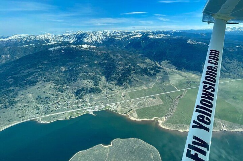
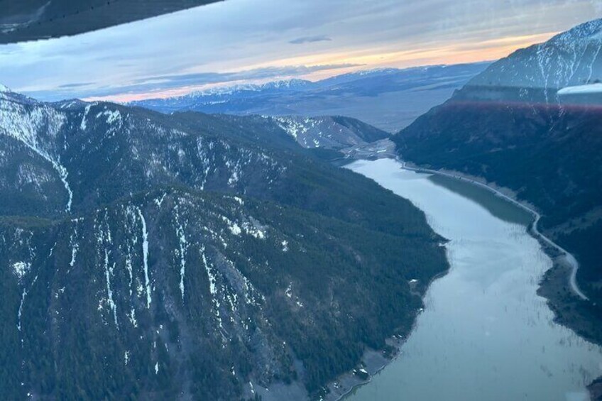
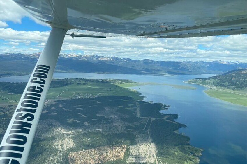
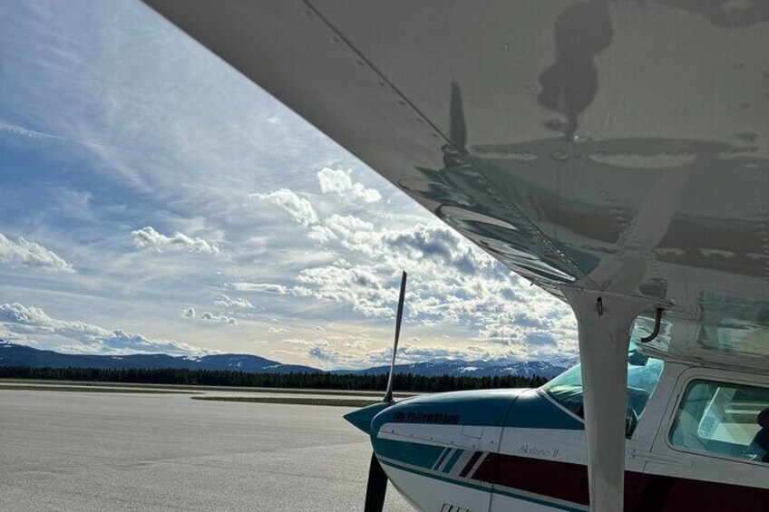
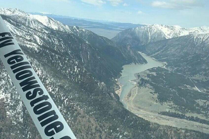
30-Minute Yellowstone Seismic Scenic Flight from West Yellowstone
By Fly Yellowstone
Free cancellation available
Features
Overview
Activity location
Meeting/Redemption Point
Check availability
30-Minute Yellowstone Seismic Scenic Flight from West Yellowstone
Language options: English
Price details
£434.18 x 1 Adult£434.18
Total
What's included, what's not
Know before you book
- Infants are required to sit on an adult’s lap
- Suitable for all physical fitness levels
- Infant sized headsets/hearing protection is not available.
- Not recommended for travellers over 250lbs
- Combined weight of participants must not exceed 600lbs
- In accordance with UK consumer law, activities services are not subject to the right of withdrawal. Supplier cancellation policy will apply.
- This activity is provided by a professional trader (a party acting within their trade, business or profession).
Activity itinerary
Location
Activity location
Meeting/Redemption Point
Best Deals on Things to Do
Experience the wonders of the world up close with great deals on things to do near and far. Expedia offers one-of-a-kind activities that allow you to explore West Yellowstone your way. Whether you love nature, culture, food or a bit of adventure, we have the perfect activity for you.
Top experiences in West Yellowstone
With so many things to do in West Yellowstone, planning the perfect day out may seem like a daunting task. Expedia is here to take the hassle out of finding the best attractions, tours and activities in West Yellowstone. Families, couples and business travellers can all find the perfect activity in West Yellowstone to create life-long memories with the help of Expedia.